new
improved
fixed
Release 16 - New Routing Feature
New Features
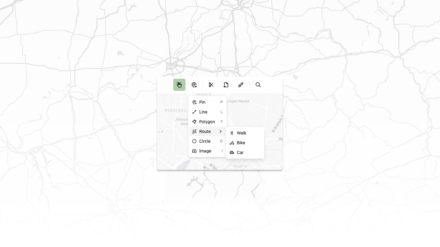
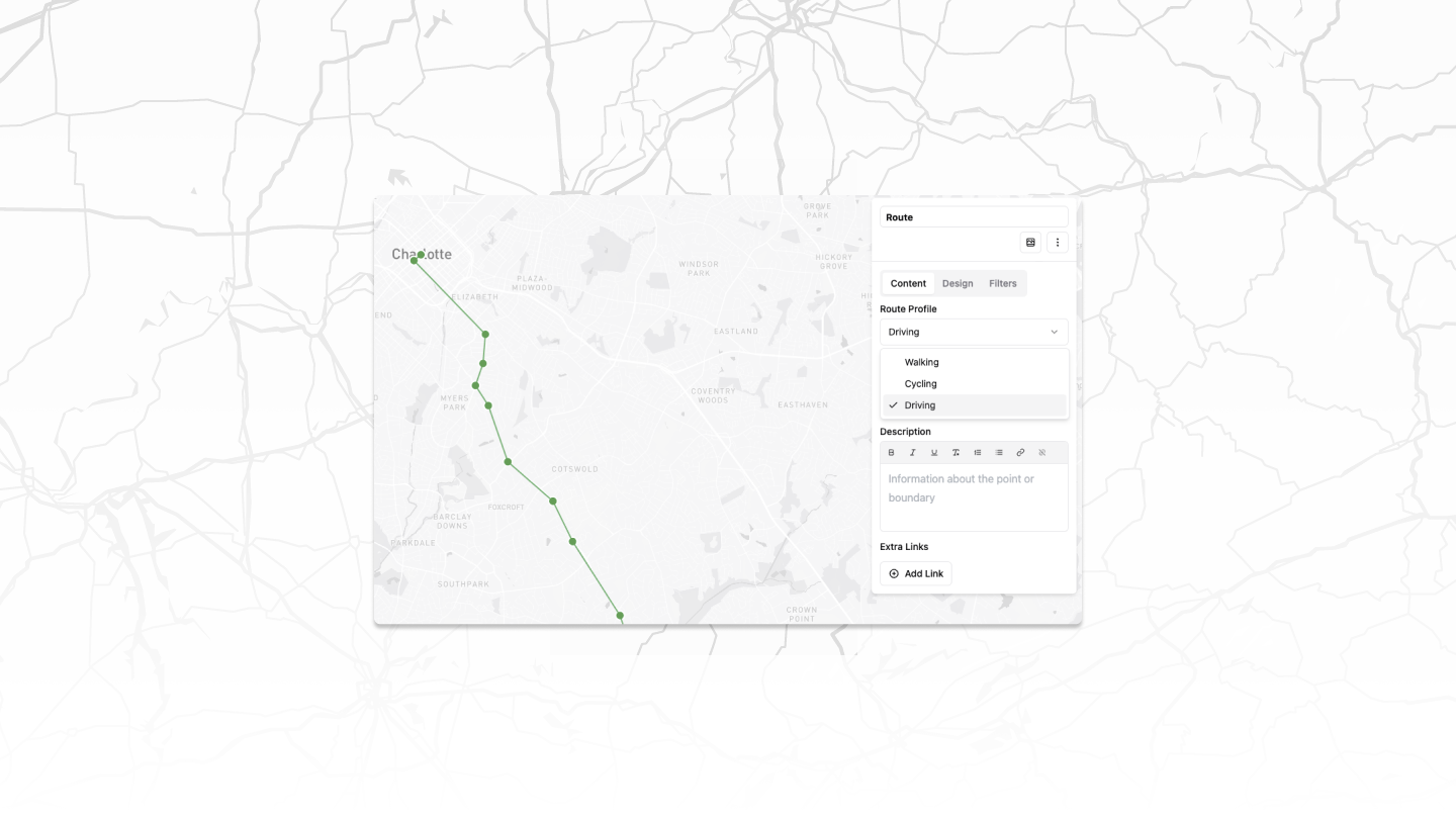
Basic Routing
Introduced routing capabilities for multiple transportation modes:
- Biking
- Walking
- Driving
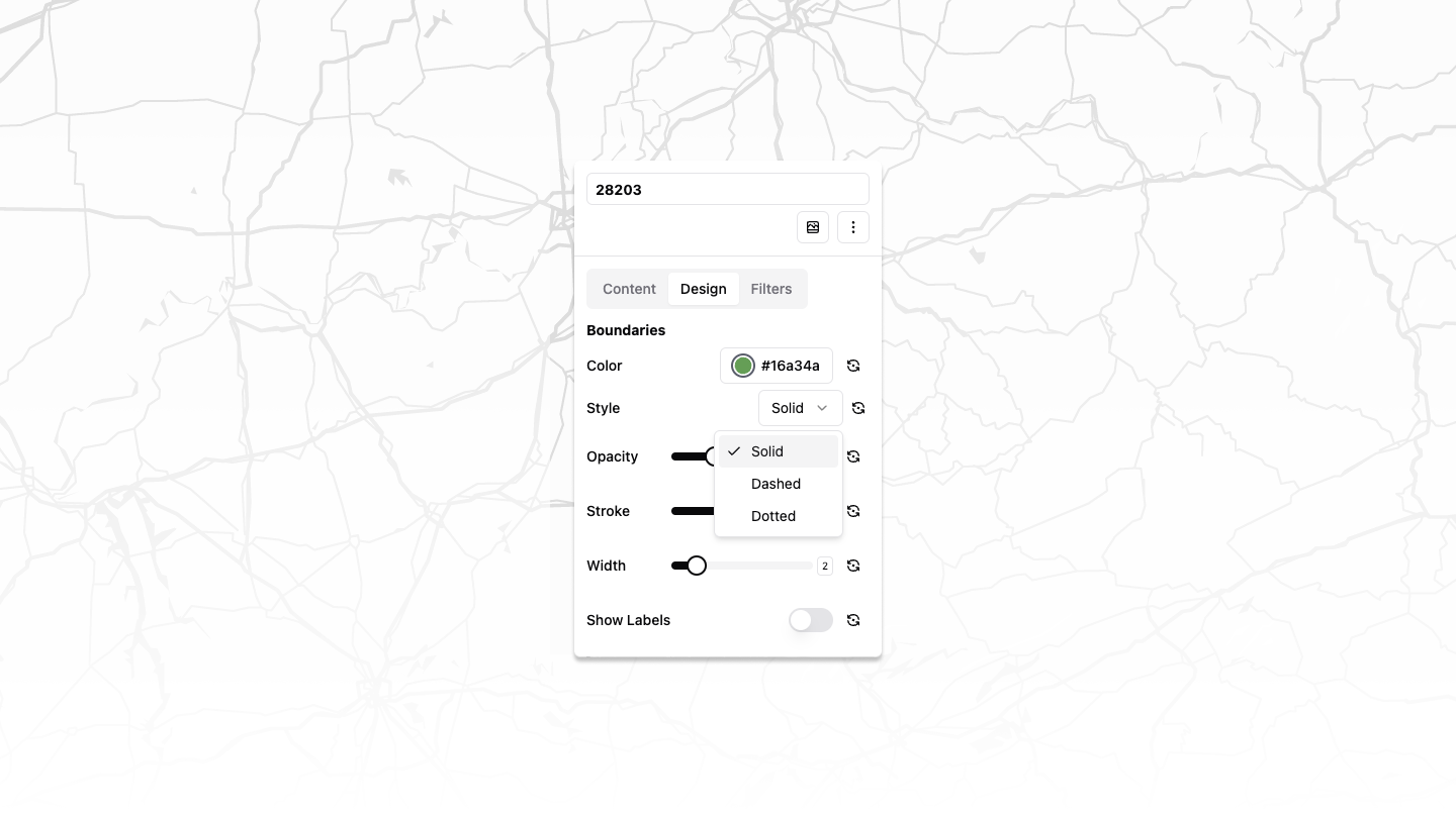
Improved Styling Options
Added new styles for polygons and lines:
- Solid
- Dashed
- Dotted
Enhanced Map Editing
Implemented multi-select functionality for polygons
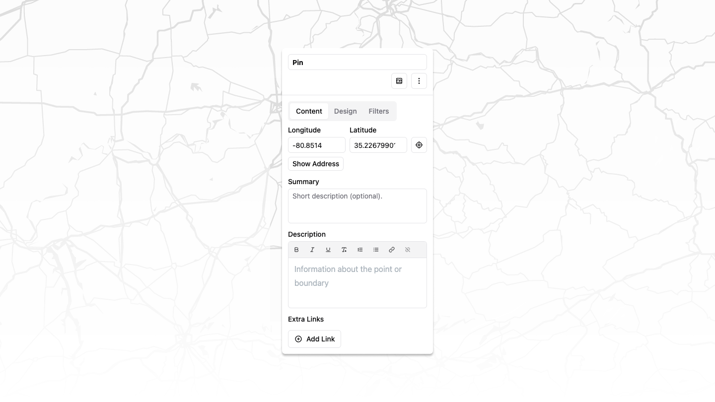
Added ability to manually update latitude and longitude of points
Fixes
Airtable
- Fixed and enhanced Airtable integration
- Now supports adding specific table views
- Allows for images and other complex Airtable objects
Improvements
Intuitive Map Toolbar
Redesigned map toolbar for a more user-friendly map editing experience
These updates significantly enhance our mapping capabilities, offering users more flexibility in route planning and map customization while addressing key integration issues.